
One Hundred Thousand Whys | How Does A Sea-going Ship Tell Its Course
 Jul 01, 2021|
 On January 17, 2009, a shipwreck occurred in Yemen waters. Speaking of sea-going ships, do you know how sea-going ships distinguish their course? Now, let’s find out!
Sitting on an ancient ship, the navigator estimated the direction by observing the sun, moon and stars. If you can't see the sun, the moon, and the stars in the rainy day, you can use the compass to orientate. The compass was invented by the working people in ancient China, and it was used in navigation for a long time. In the Song Dynasty, the compass has been used as a direction finding tool on seagoing ships.
In ancient times, the compass used by sailors was a water compass, which was composed of a compass needle and a steering wheel. Zheng He, a Chinese navigator in the Ming Dynasty, made seven voyages to Southeast Asia, Arabia and East Africa. The treasure ship he took was equipped with a water compass.
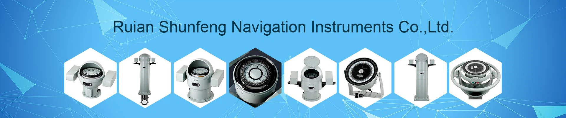
The direction-finding instruments equipped on modern ships are compasses, which include magnetic compasses and gyro compasses.
The magnetic compass is developed on the basis of a compass. The magnetic needle is made of a permanent magnet, which is magnetic and can indicate the north-south direction under the action of the earth's magnetic field. However, the magnetic compass is susceptible to the interference of the magnetism of the steel hull and the magnetism of the electrical equipment on the ship, which causes errors and affects the accuracy of direction finding.
The gyro compass is made using the principle of a gyroscope. Its "heart part" is a gyroscope. The gyroscope is driven by a high-speed motor. Once activated, it rotates at a high speed around its own axis. It points to true north and is not affected by geomagnetism. , So it can be used to indicate the direction.
When a ship is sailing at sea, it must know its position at any time and check whether the position is on the scheduled route at any time. This work is the navigation of the ship. How does the ship determine its position and ensure that it sails on the scheduled route?
There are two methods for determining the ship's position. One is called the navigation estimation algorithm, which calculates from the starting point of the voyage, and calculates the ship's position on the chart based on the heading indicated by the compass and the mileage provided by the log. The second is the ship position determination method, which includes celestial navigation to observe celestial body positioning and radio navigation to receive radio wave positioning.
The so-called celestial navigation is to measure the height of celestial bodies by using a sextant for observing celestial bodies. The sextant is a portable angle measuring instrument that can be used to determine the azimuth and distance of the target. The sextant can measure the horizontal and vertical angles between two targets, as well as the azimuth and height of celestial bodies. After measuring the height of the celestial body with the sextant, and then searching the astronomical calendar, the geographical position of the celestial body at the moment can be obtained, and then the position of the ship can be measured.
Radio navigation can be carried out by sending radio waves from a radio navigation station on the shore or on an island. At this time, a ship sailing at sea can use the radio direction finder on the ship to measure the position of the radio navigation station, continuously measure the position or measure another A radio navigation station with a known location can measure its own ship's position.
Satellite navigation can be carried out by using artificial earth satellites. The navigation satellites move regularly on the earth orbit, so they can be used as directional markers for maritime navigation. Ships using satellite navigation should be equipped with special equipment to measure the required navigation parameters. Relying on satellite navigation to determine the ship's position is completely automatic, with high accuracy.
Ships sailing on rough seas also need the help of "ears and eyes". These "ears and eyes" are navigational instruments and equipment.
The "eyes" of modern ships are radars, and marine radars are composed of transmitters, receivers, displays, antennas, and power supplies. The transmitter is used to transmit radio waves, and the receiver is used to receive the radio waves reflected by the target. The display displays the echo signal on the fluorescent screen after frequency conversion, mid-amplification and detection. In which direction there is an echo, there will be a target in which direction. In this way, the position and distance of the target can be measured.
With radar installed on the ship, you can know the surrounding sea conditions well. Whether it is day or night, even in stormy weather, the marine radar can "see" the surrounding sea conditions to ensure the safety of navigation.
The "ears" of modern ships are sonar. Sonar is composed of transmitter, receiver, indicator or recorder and power supply. The transmitter emits sound waves, and the receiver receives the sound waves reflected by the target. The indicator or recorder amplifies the received sound waves and indicates them in the indicator or records them in the recorder.
The ship is equipped with sonar, which can not only measure the position of seabed reefs and shipwrecks in time and accurately, but also measure the depth of the seabed to ensure the safety of navigation. For warships, the use of onboard sonar can also detect underwater targets such as mines and submarines.
In addition to the above-mentioned instruments and equipment, modern ships are also equipped with other nautical observation instruments, such as nautical telescopes for observation, rangefinders for measuring the distance of targets, azimuths for determining the orientation of targets, and voyages. Log. In addition, there are ship clocks and stopwatches for timekeeping, depth sounders for depth measurement, and charts used for navigational reference. They are all essential navigation tools.
With the help of these navigational instruments and equipment, modern ships can become "smart and see-through" and can accurately grasp the situation at sea to ensure the safety of navigation.